|
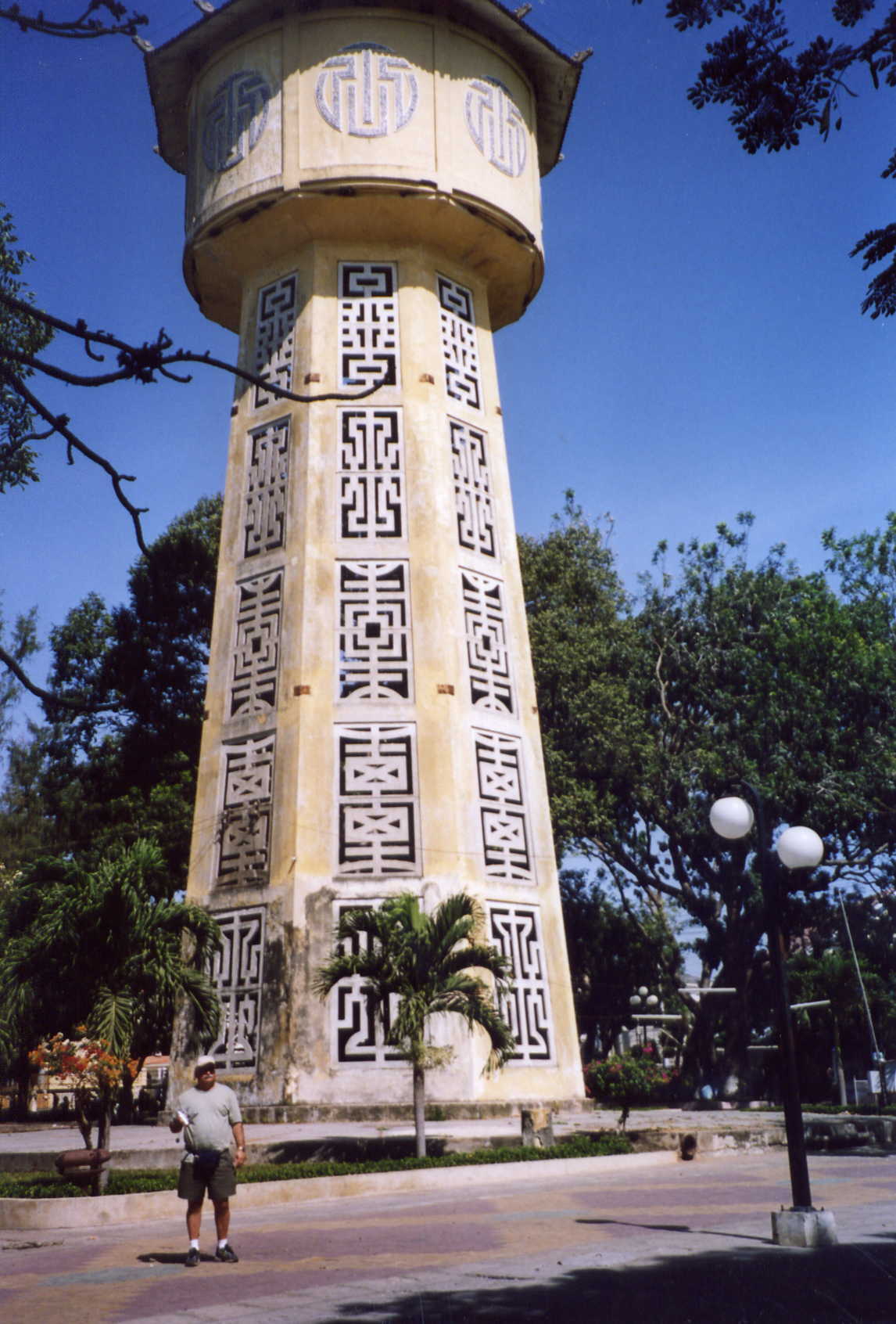
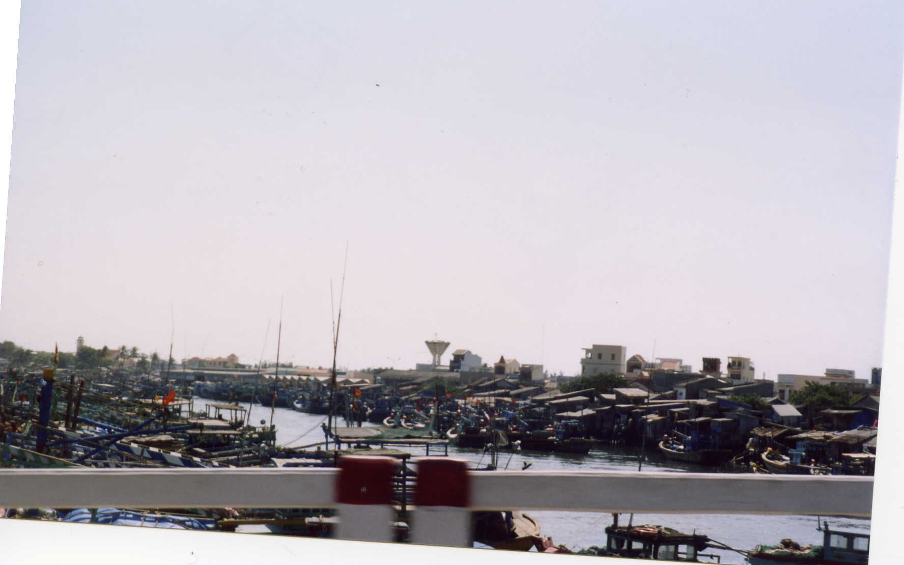
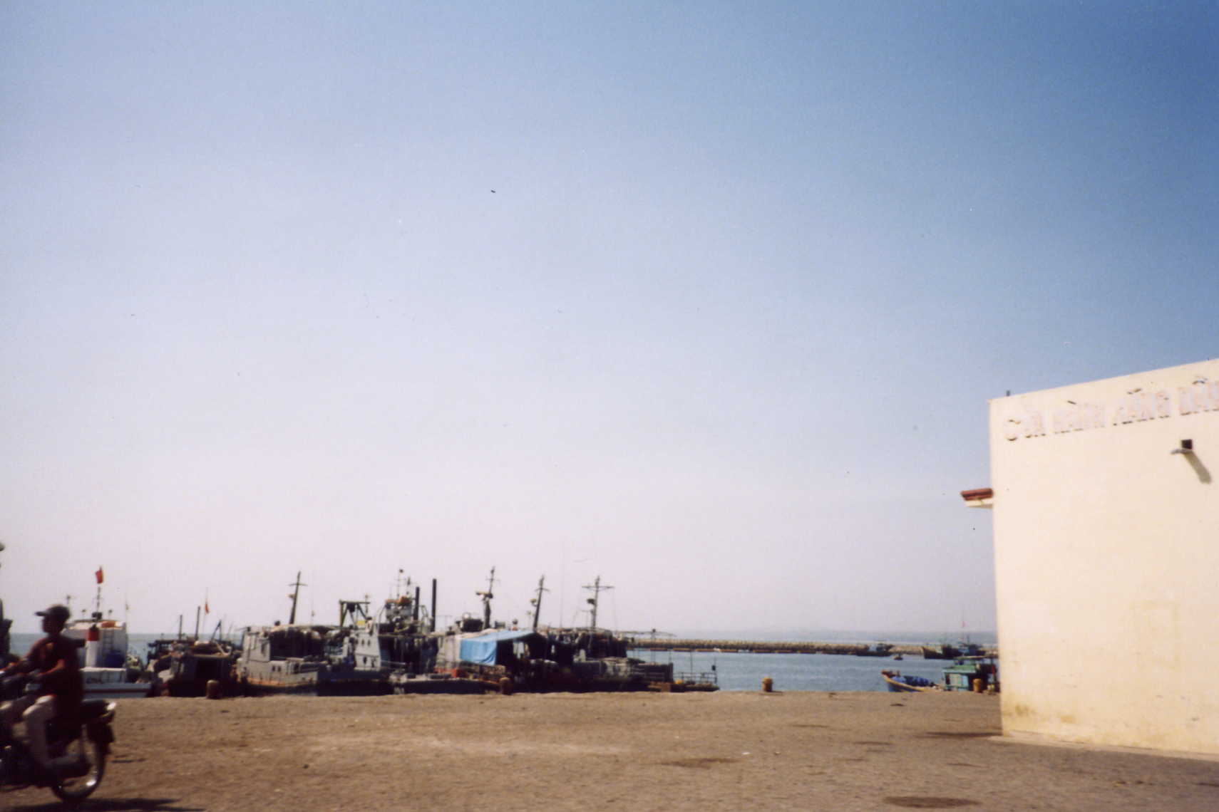
Phan
Thiet harbor
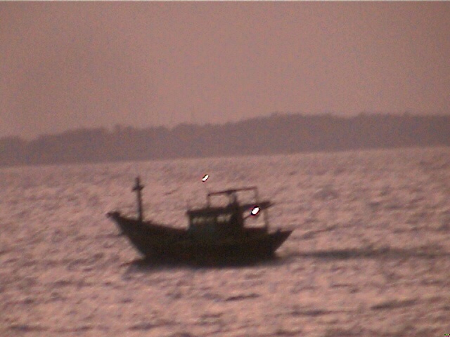
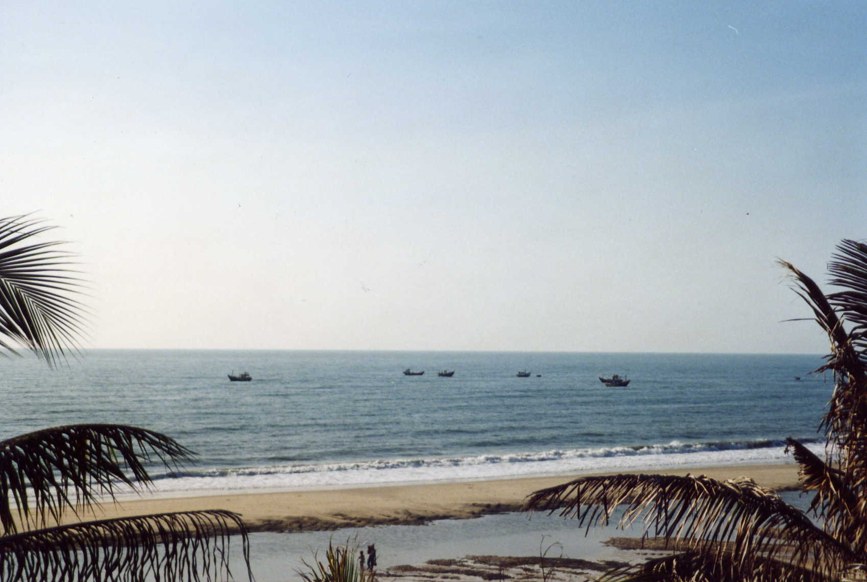
Fishing boat early am South China Sea
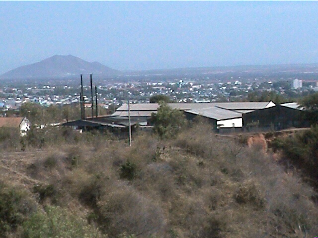
From the north looking south toward lz
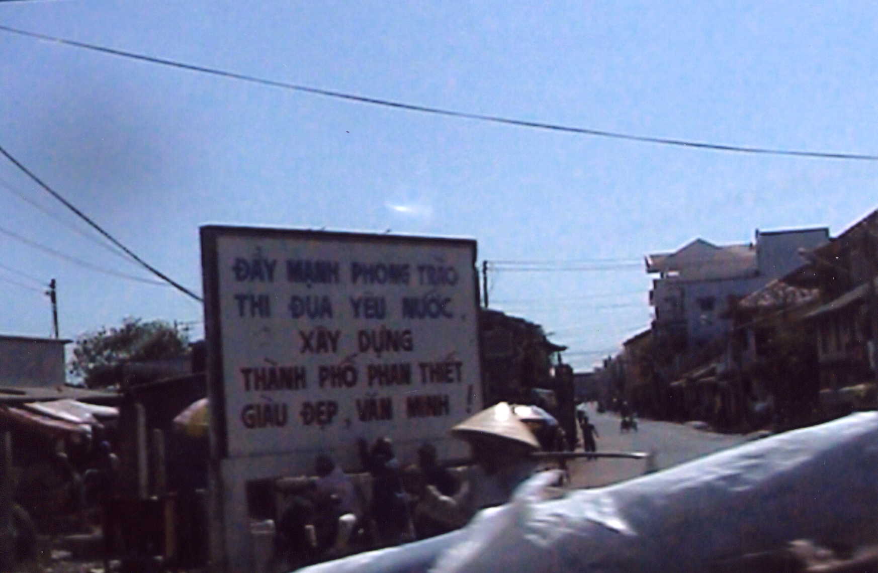
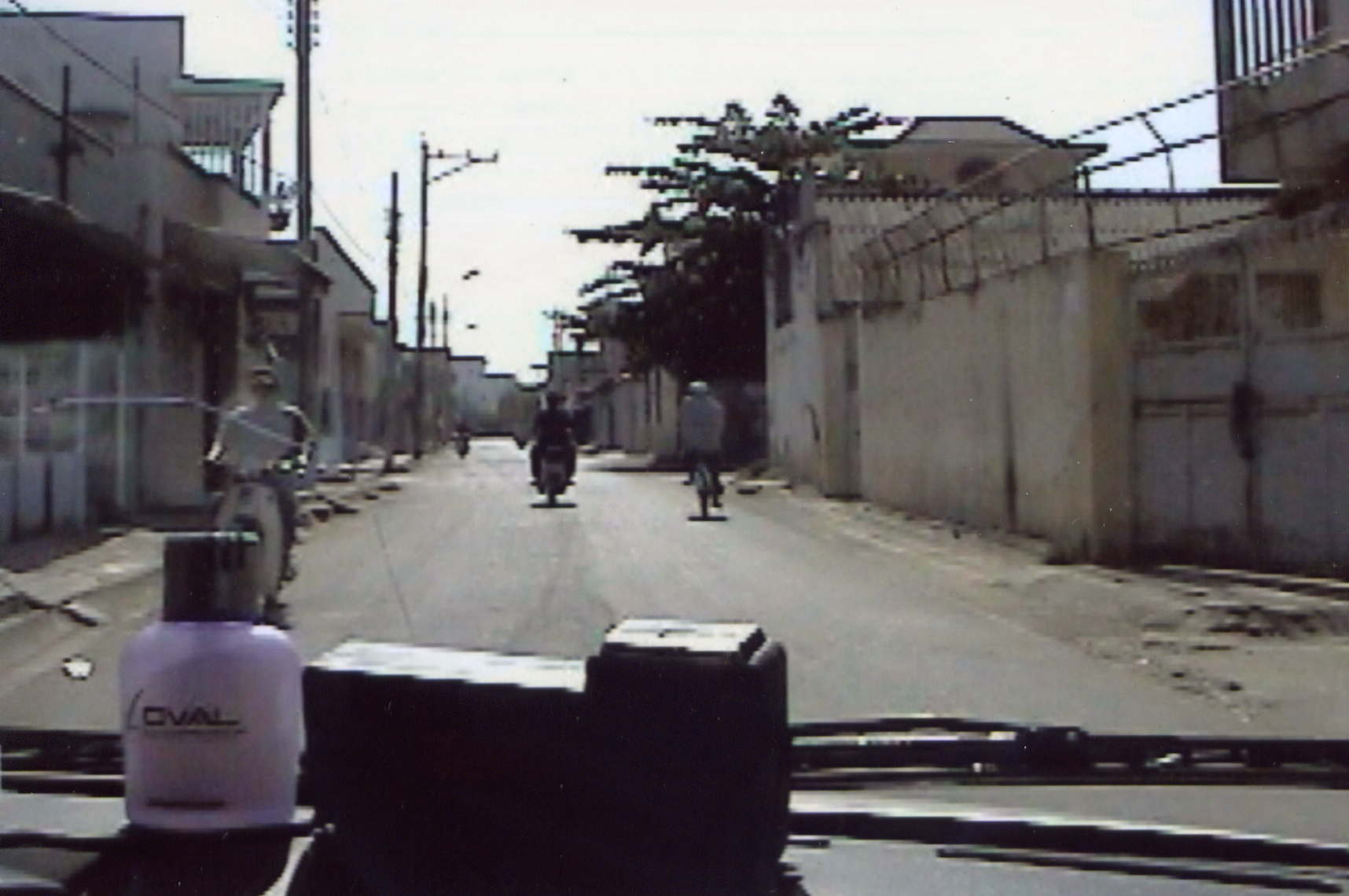
We just turned left at the fish market.The next 2 pictures are taken on Trung Trac rd. This
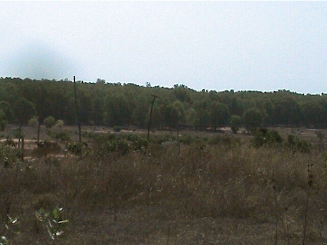
road runs along the Ca Ty River heading toward LZ Betty
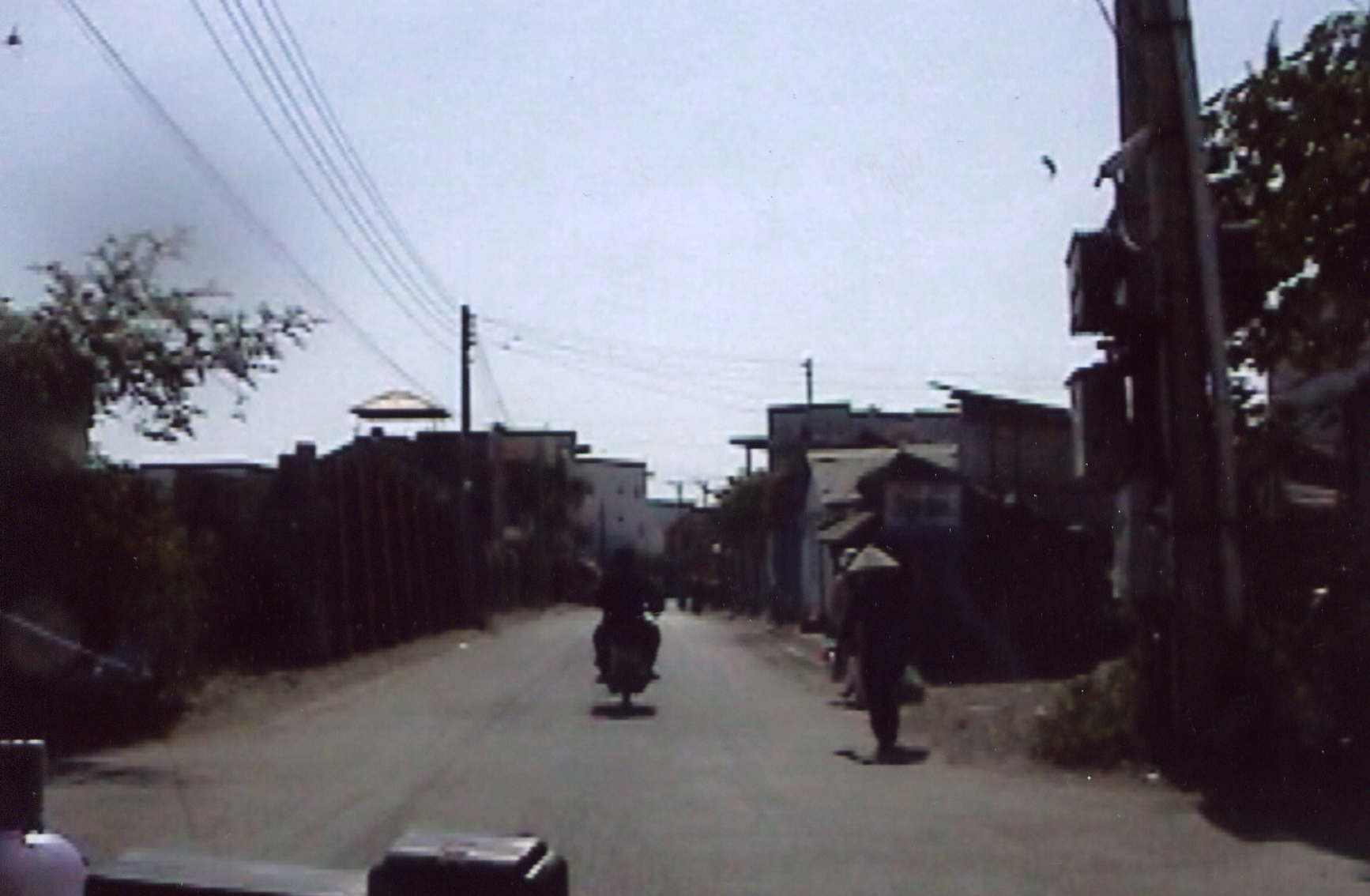
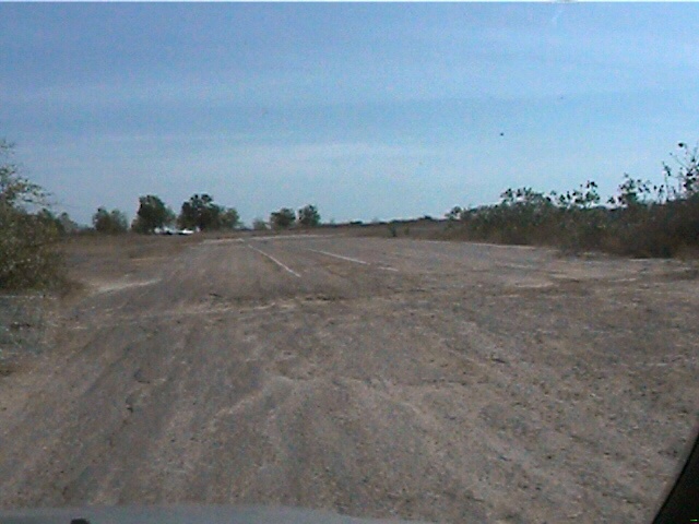
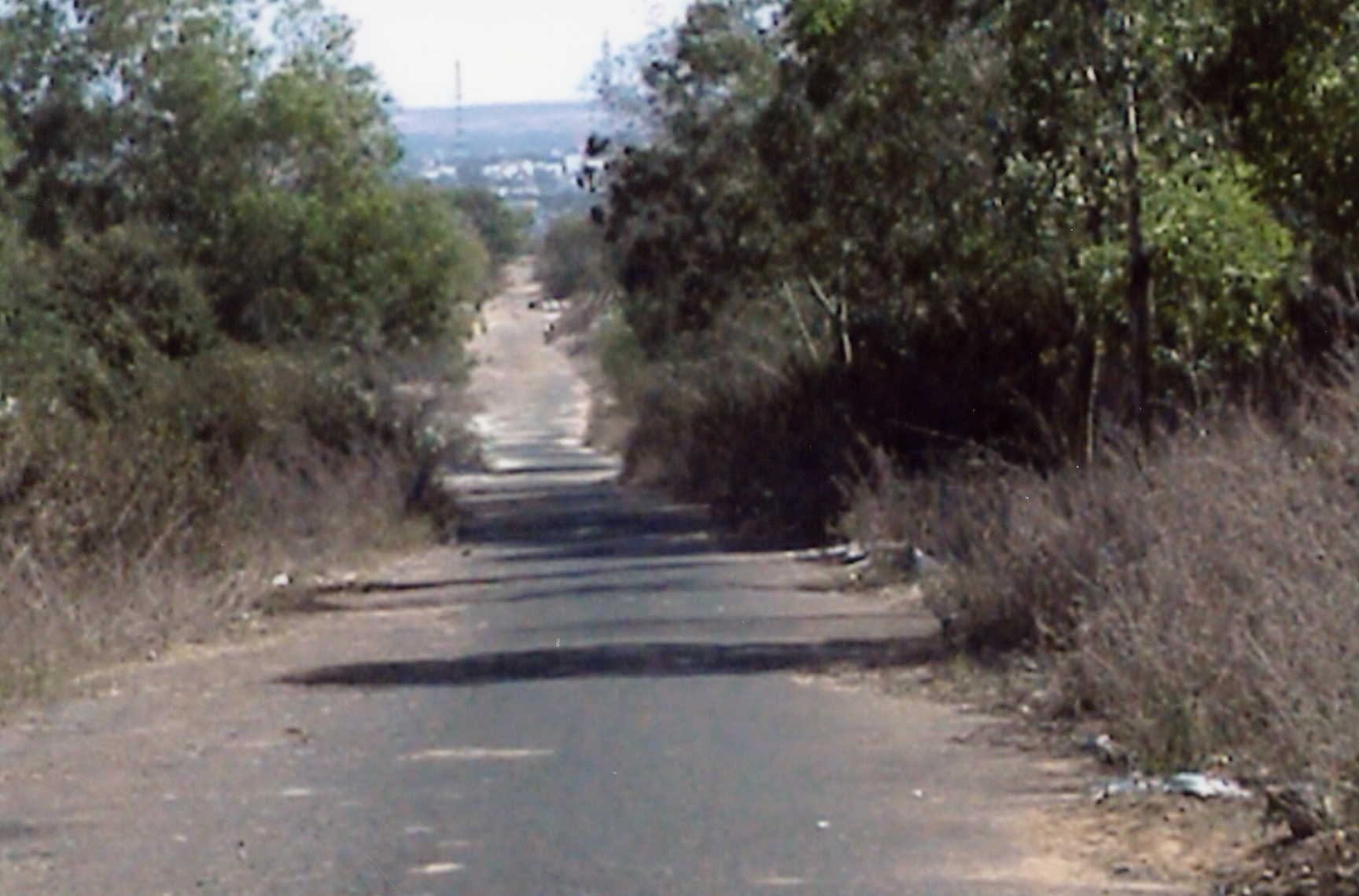
Duong Tran Quy CAP road leading up to Betty
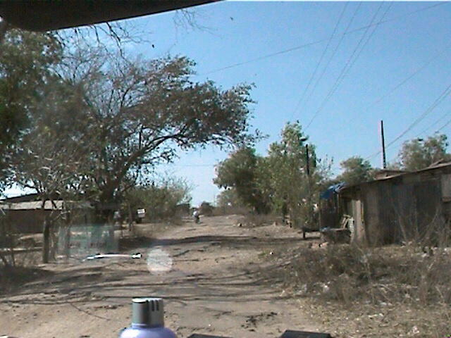
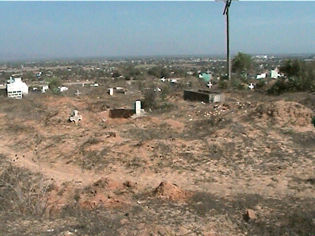
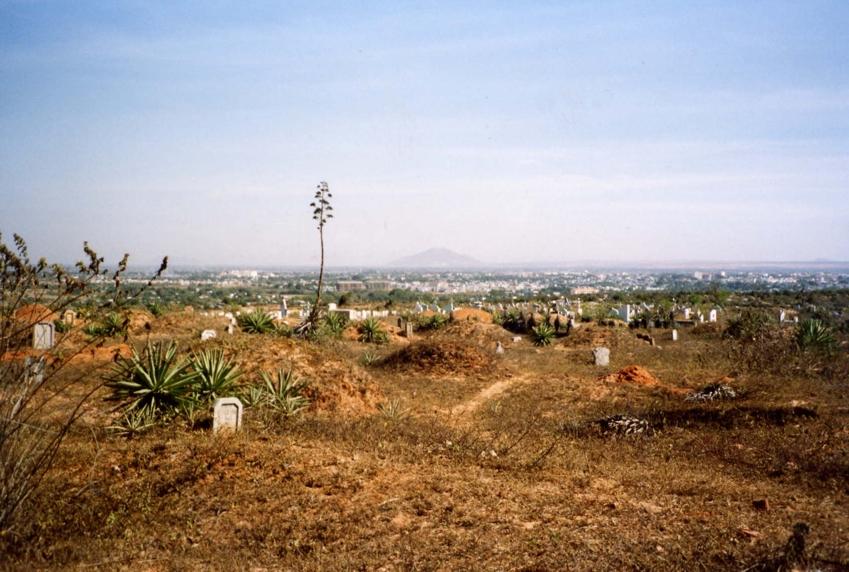
Cemetary
on the right just before the MP check point
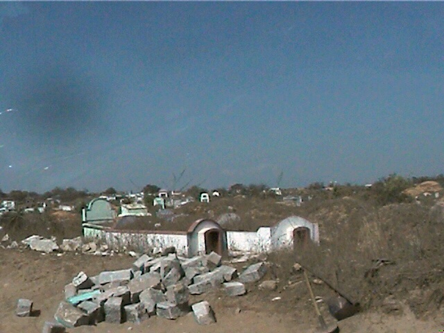
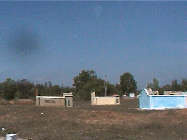
New graves in the old cemetary
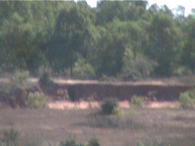
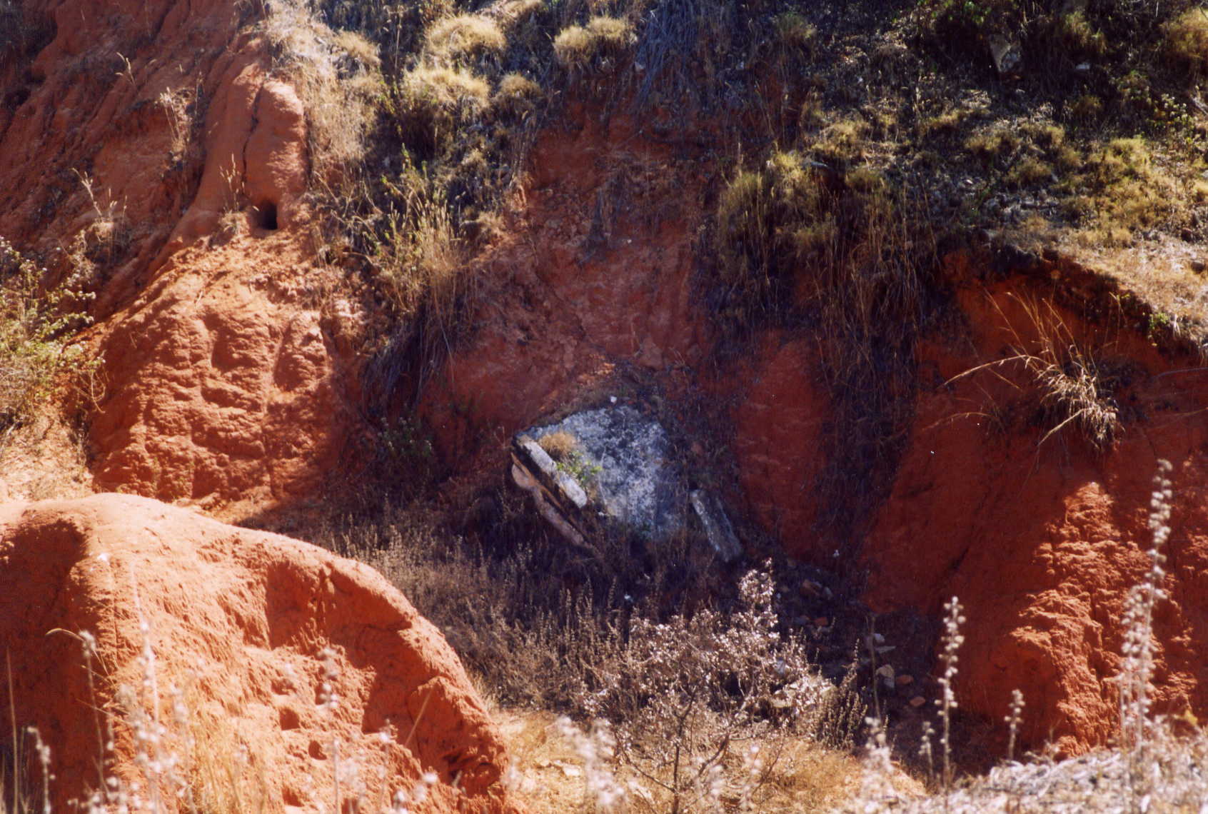
Area in front of bunker 5, note exposed tunnel due to erosion
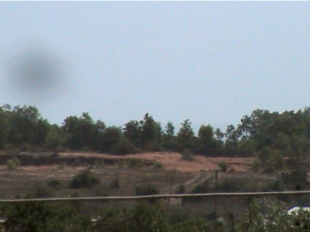
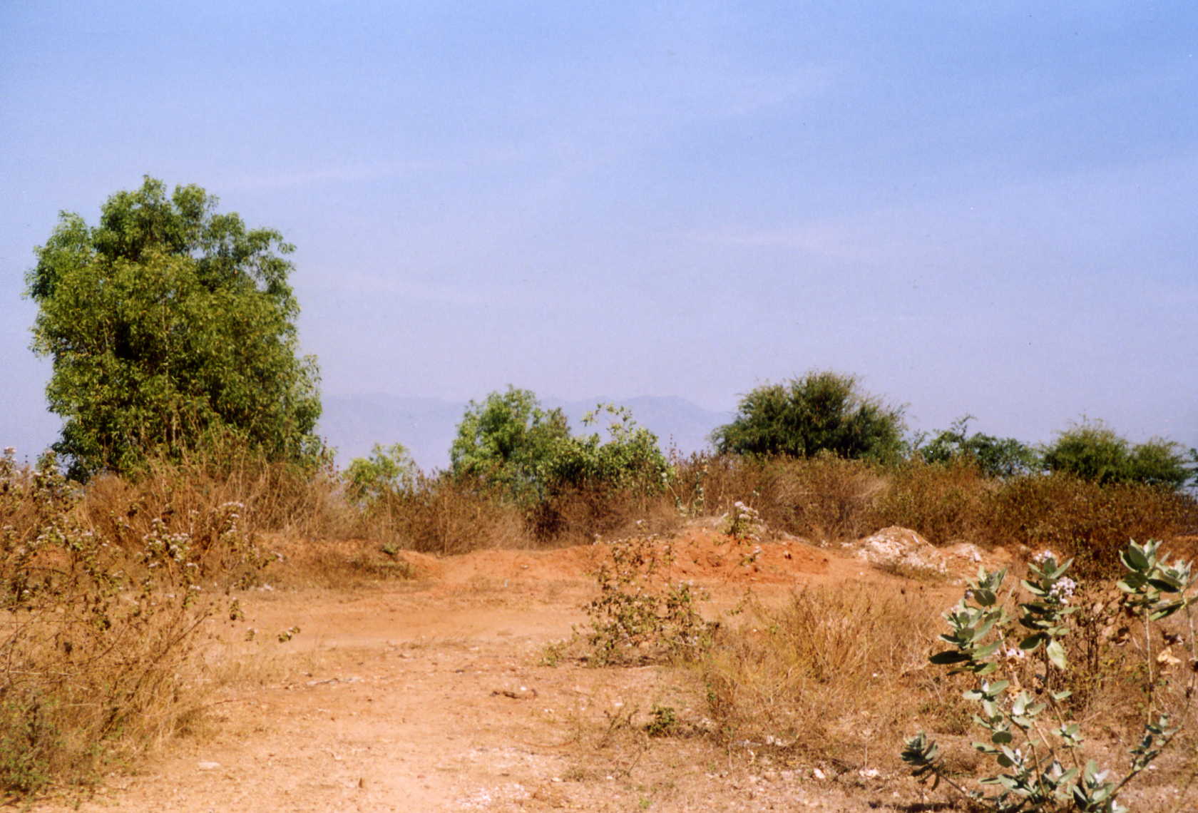
Area north west of LZ far corner of cemetary
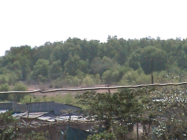
West side green line bunker 3 to bunker 9
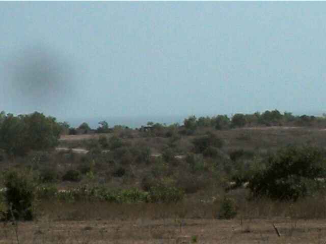
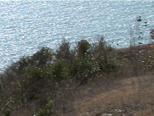
North end of LZ, South China Sea back ground
West
side greenline as seen from the new road
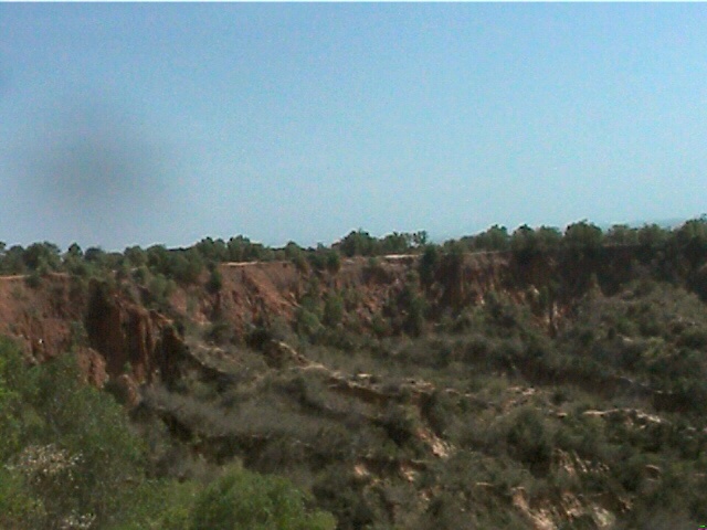
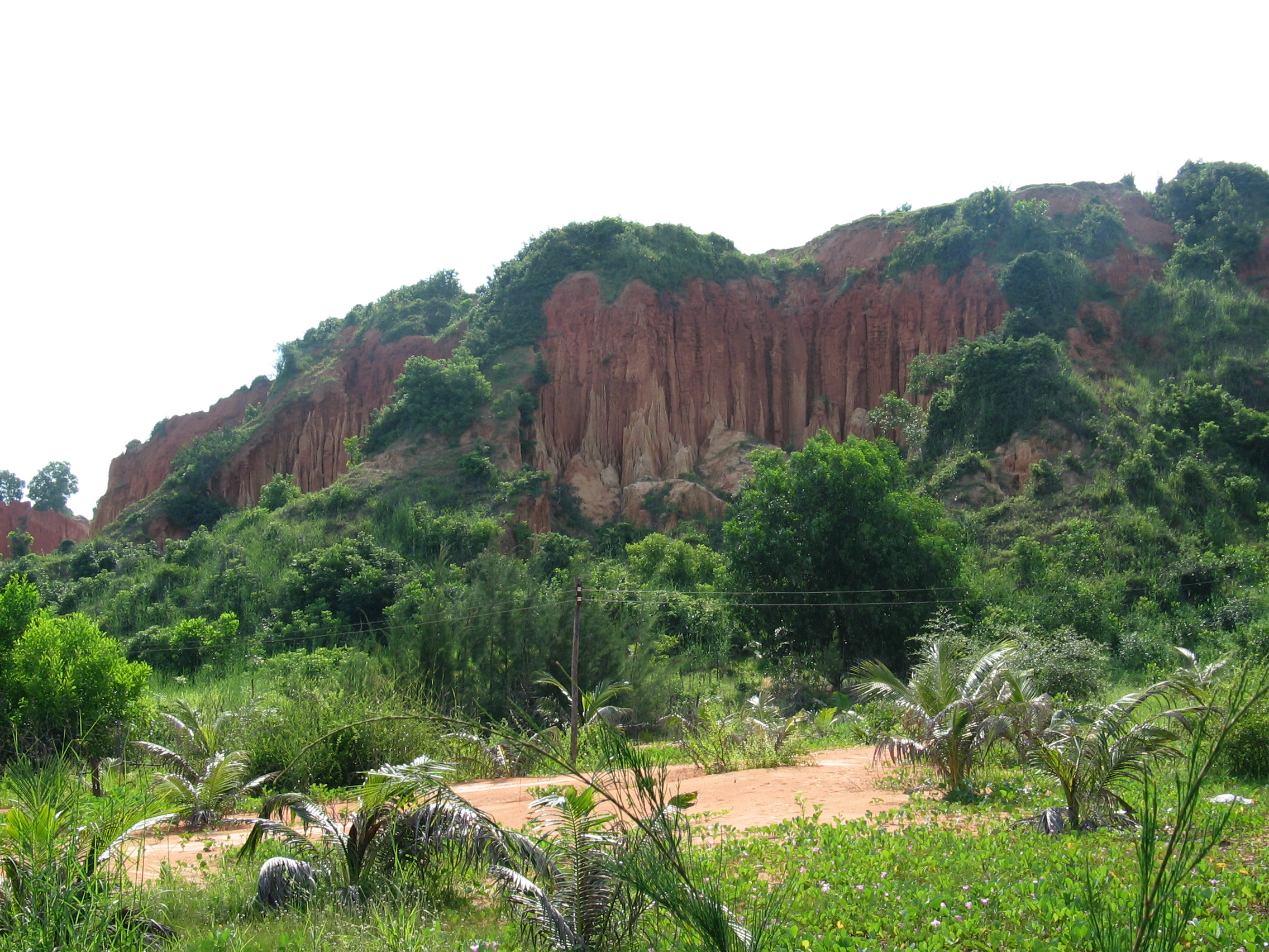
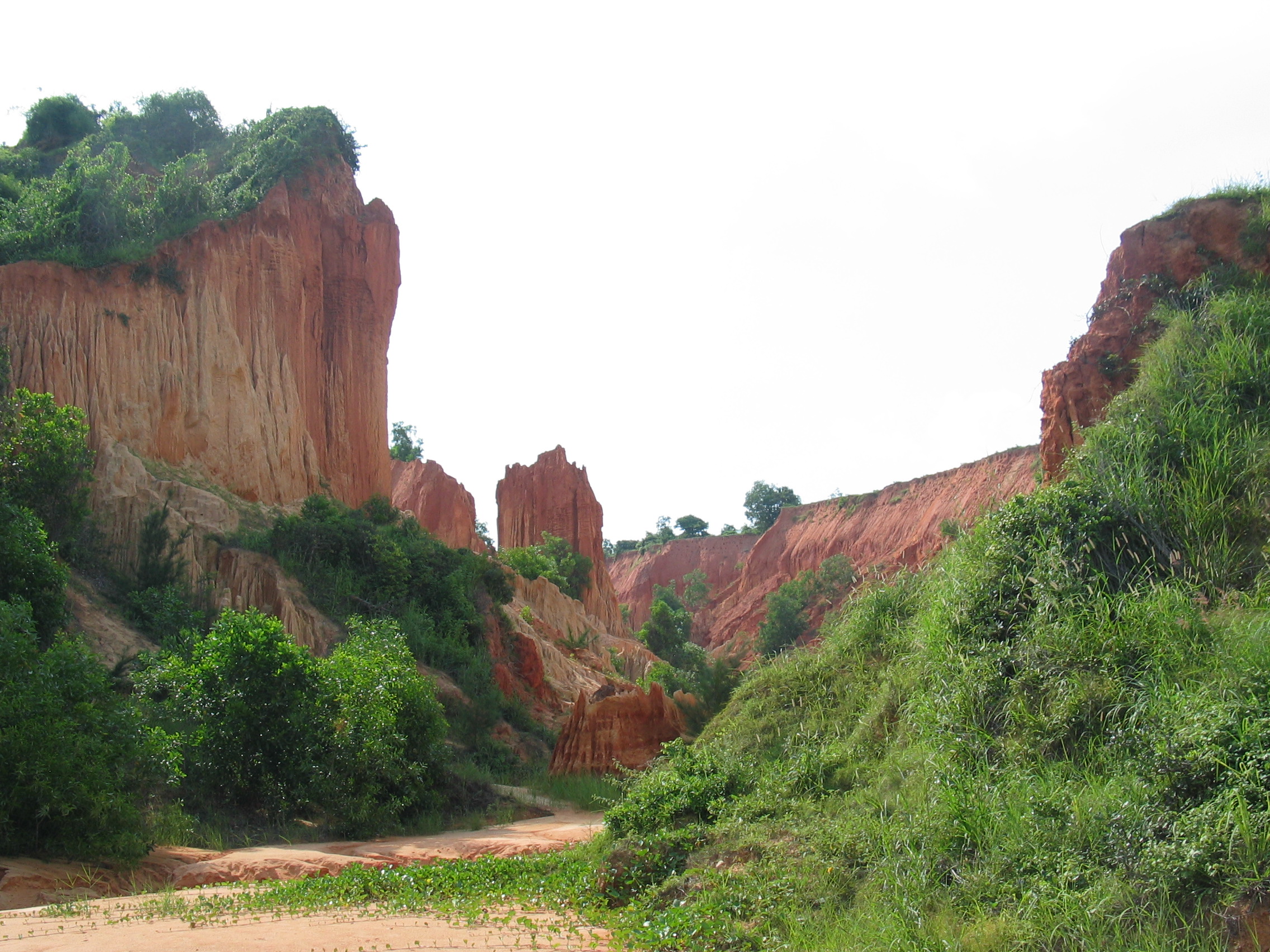
Erosion
ditch 35 years later south end of LZ
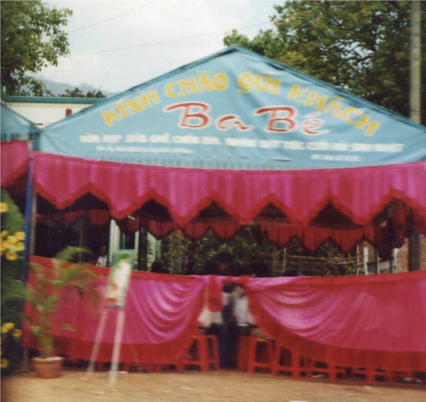
Chieu Hoi Center.Now a park area
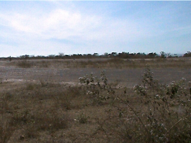
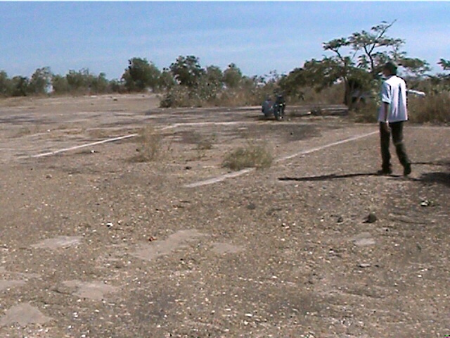
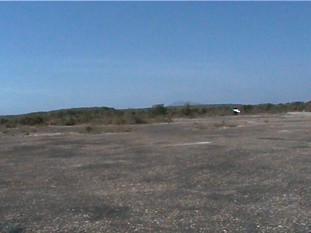
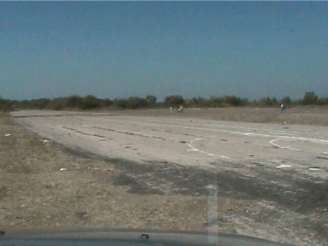
Looking north to runway 25
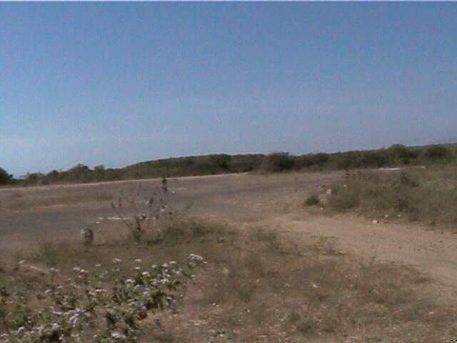
West side ramp area looking east
From
nw corner of tarmat toward the 192 AHC area
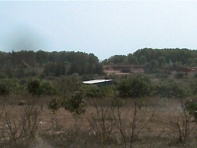
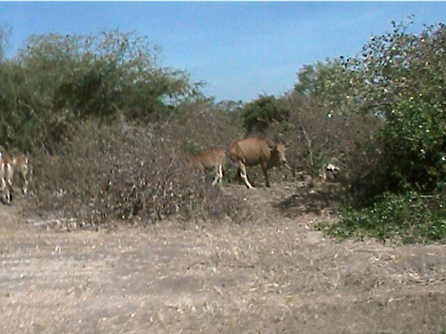
Area in front of bunker 2 VC escape route 3/may/70
The cemetary had extended futher down the green line.
Location of the base chapel, north west corner of the LZ.
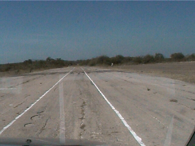
Looking south toward runway 07
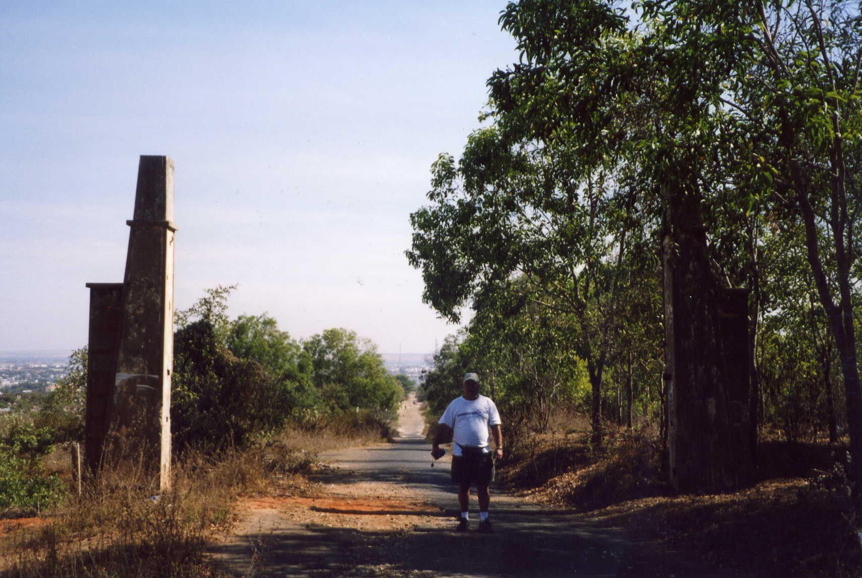
End of runway 07, the road in the background was to the old FSB and the access
road leading out of LZ Betty
Erosion
ditch 35 years later behind batallion hill
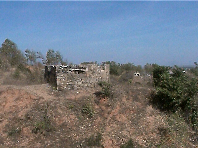
Remains of one of the old French bunkers
Remains of helicopter revetments near the Seahorse hanger
Looking south from batallion hill over our old company area
Old
ARVN compound near the MP check point
North east corner of LZ , former location of guard towers
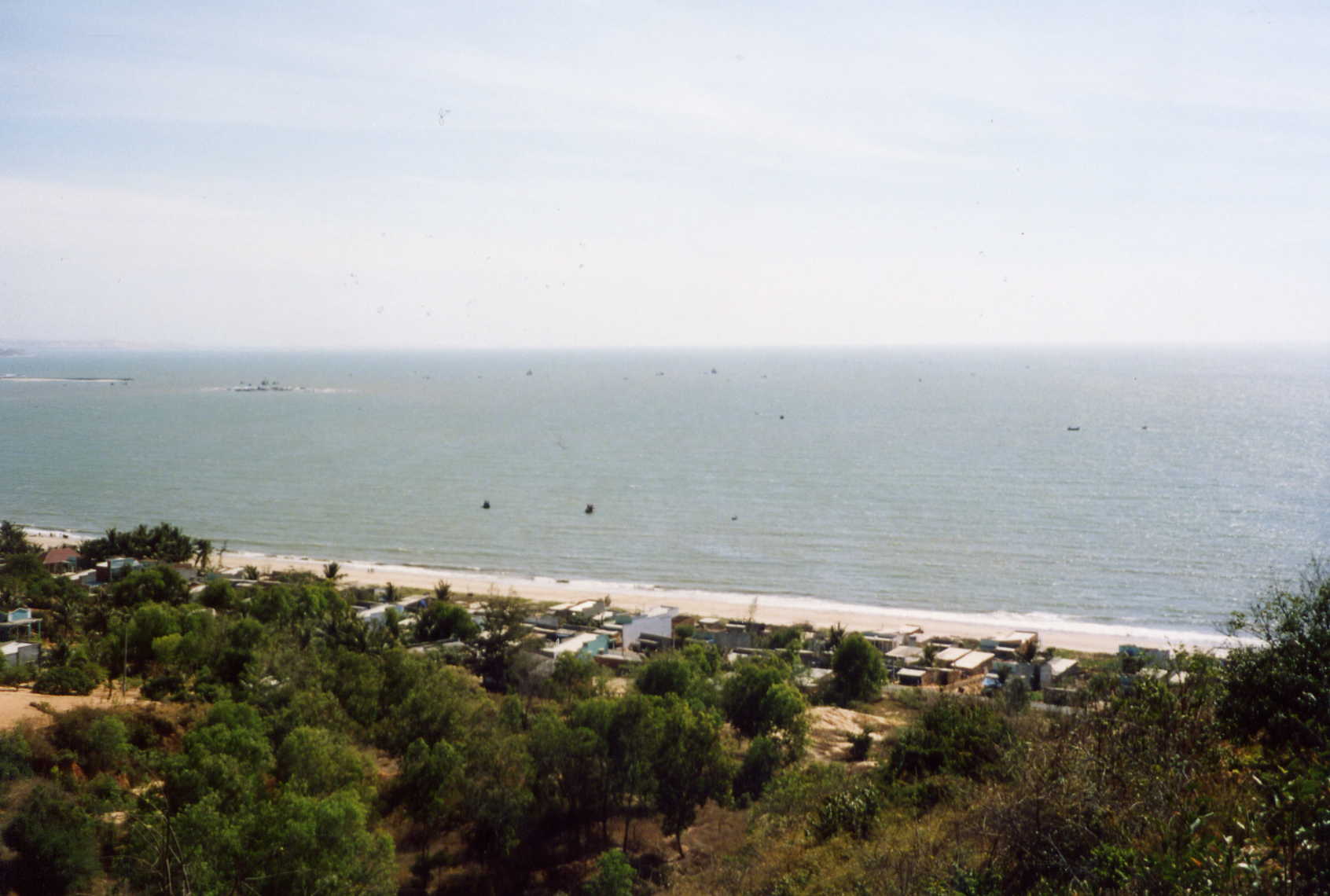
From area of the guard towers looking south toward Vung Tao
Old view from east side green line towards Vung Tao
Area just below here was where the changing shed was on the beach
Another of the old French Bunkers
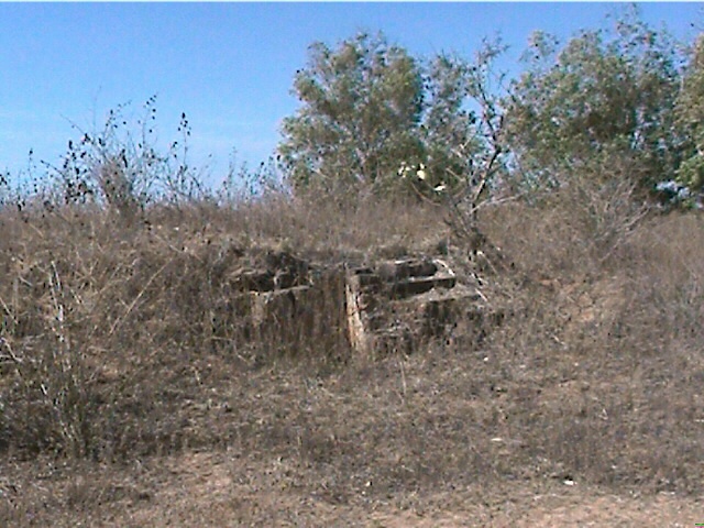
Remains of one of the old bunkers
Standing
up by the old PA&e ice plant looking south
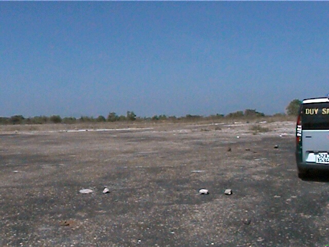
Taking different pictures of the ramp area
Remains of HQ building in the erosion ditch
The beach area, former location of the fuel tanks and LST pier
You are looking at the old greenline access road facing west
Me and the old entrance arch
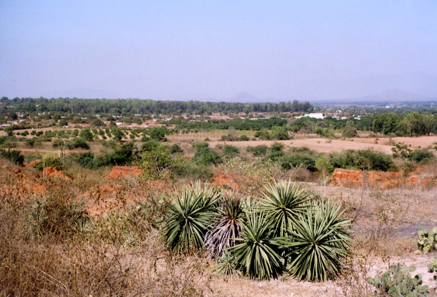
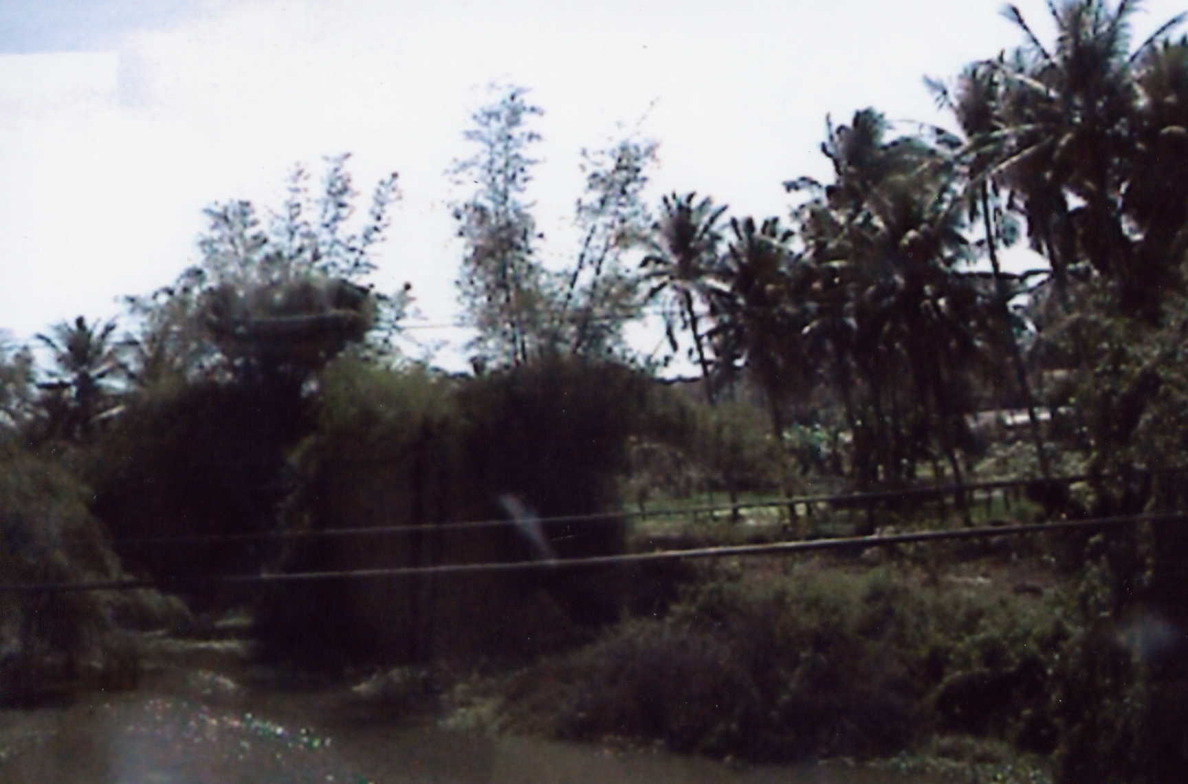
West side greenline. This used to be rice paddies.There has been alot of erosion
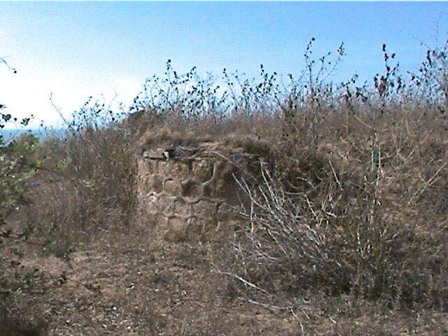
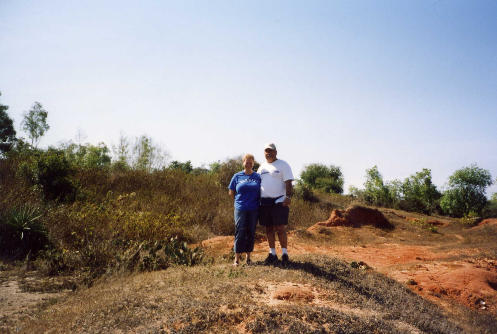
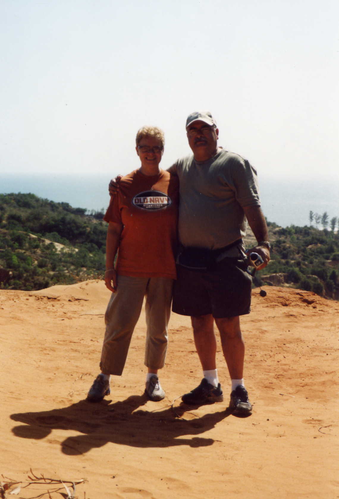
Nancy and I on bunker 2
Looking down toward the old MP check point
Standing at the very end of runway 25 looking south
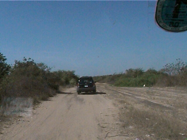
Leaving LZ Betty, heading down runway 25
The new residents of our old LZ
Song Cai river bridge, coming into PT as you crossed this bridge you could look up and see the west
side greenline
from HWY 1. Just to the right of this was Phu Kanh Hamlet
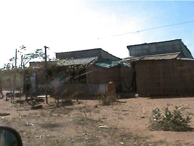
Some of the many abandoned houses around our
old LZ. I frequently searched these homes looking for VC, This was part of the former Phu Kanh Hamlet , Not
far from HWY 1
Nancy and I on the edge of the erosion ditch on the south end of LZ Betty
Over crowded harbor. Many people who were fisherman in the north have moved south
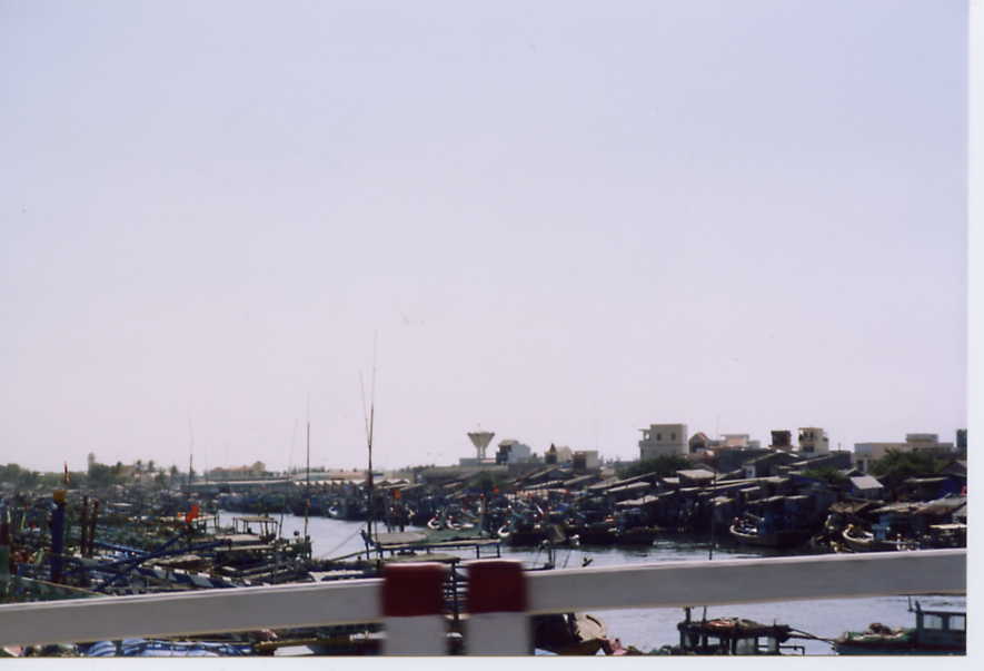
They fished from early am till mid day
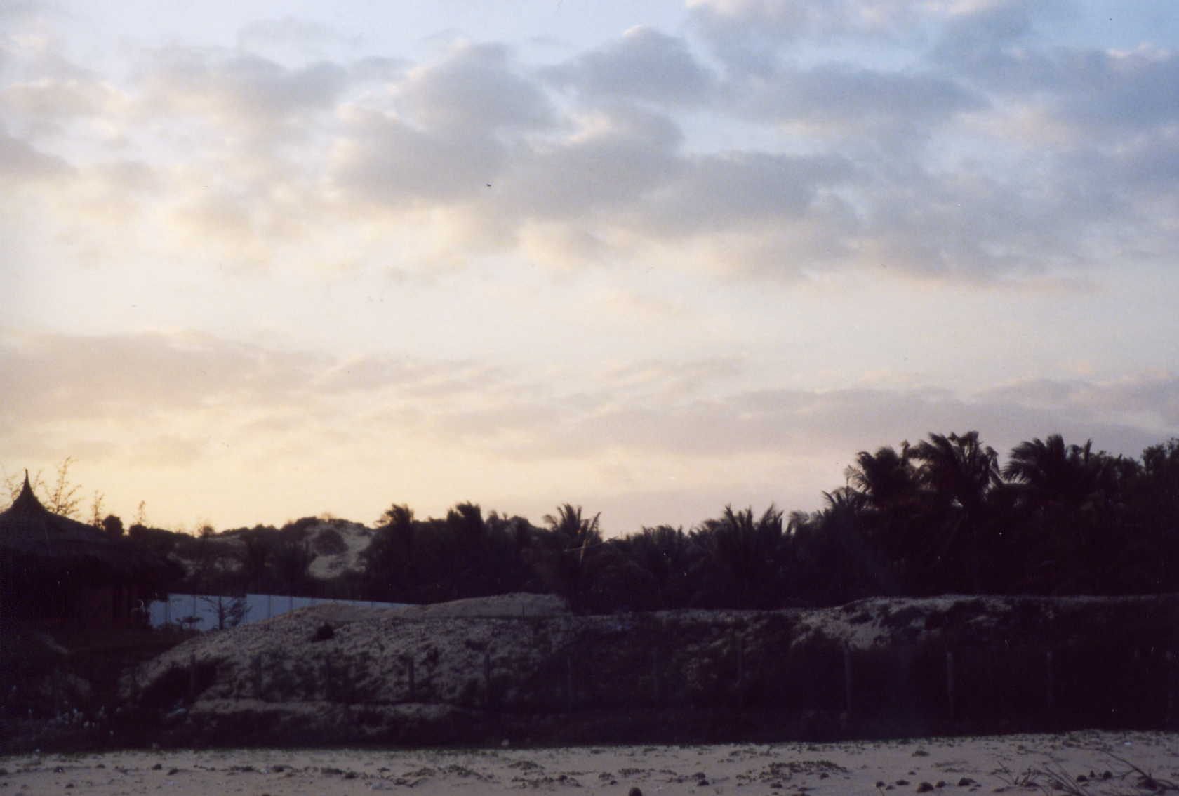
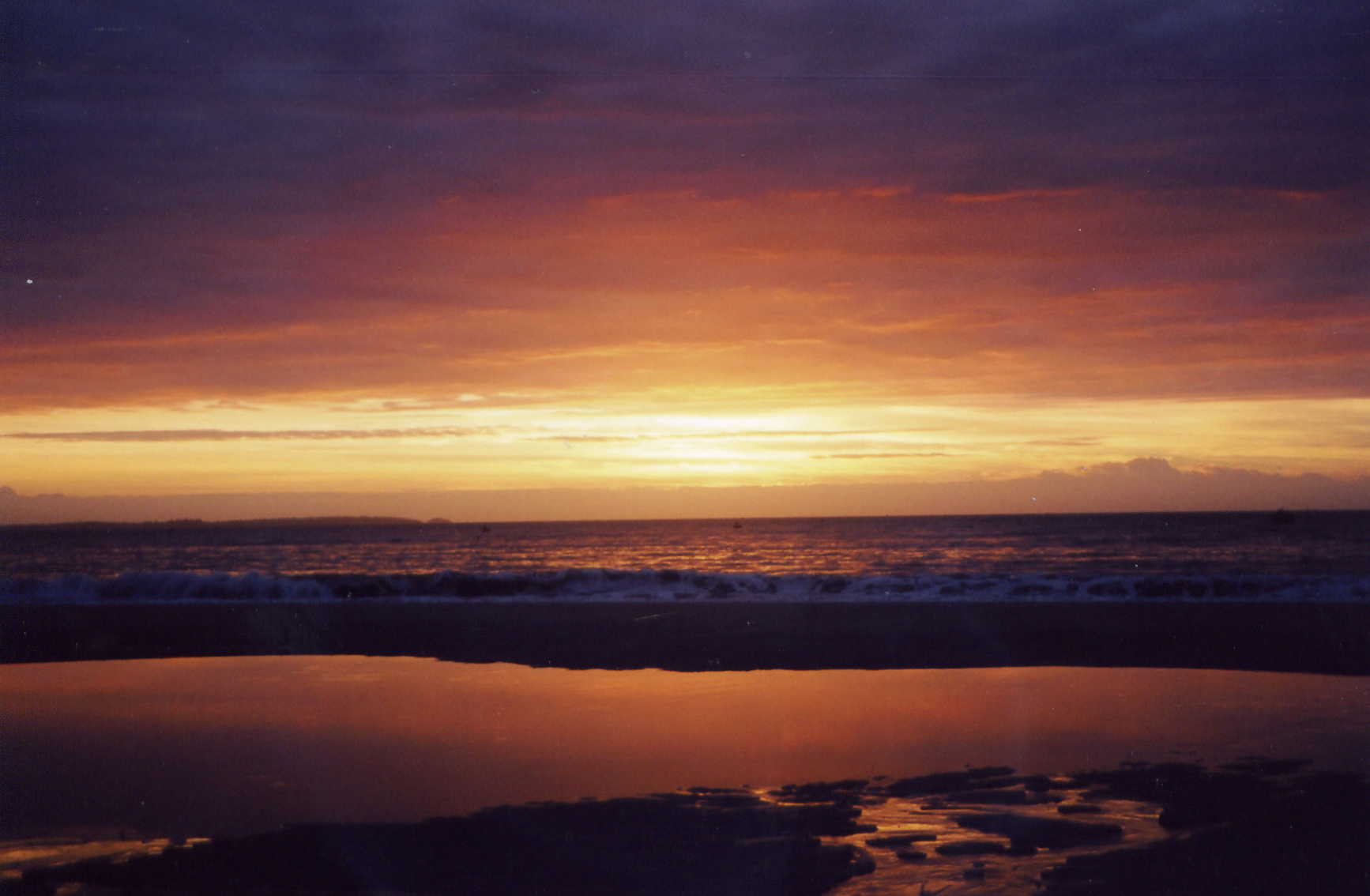
Our last sunrise in Phan Thiet.
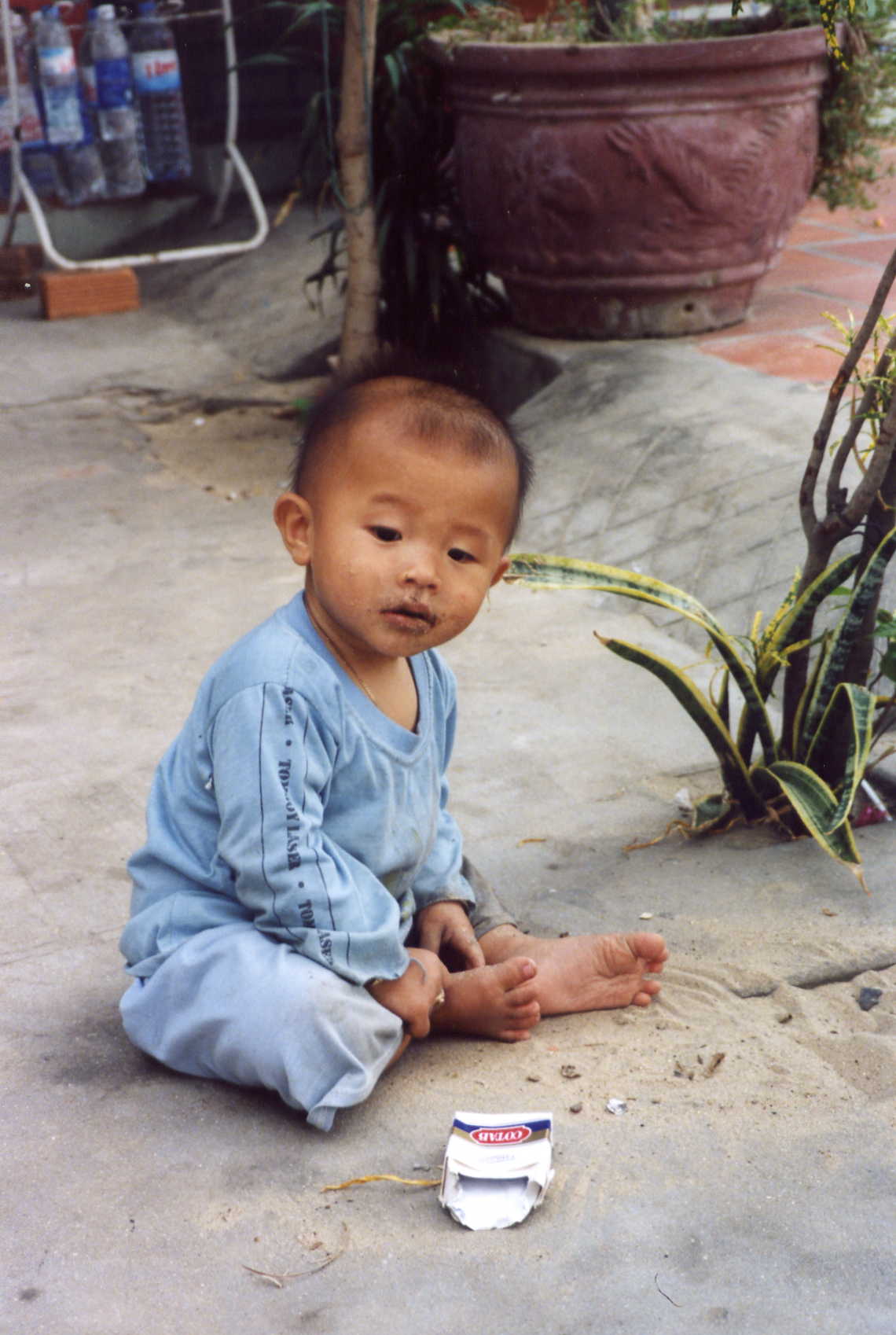
My wife Nancy`s new friend.
Somethings never change
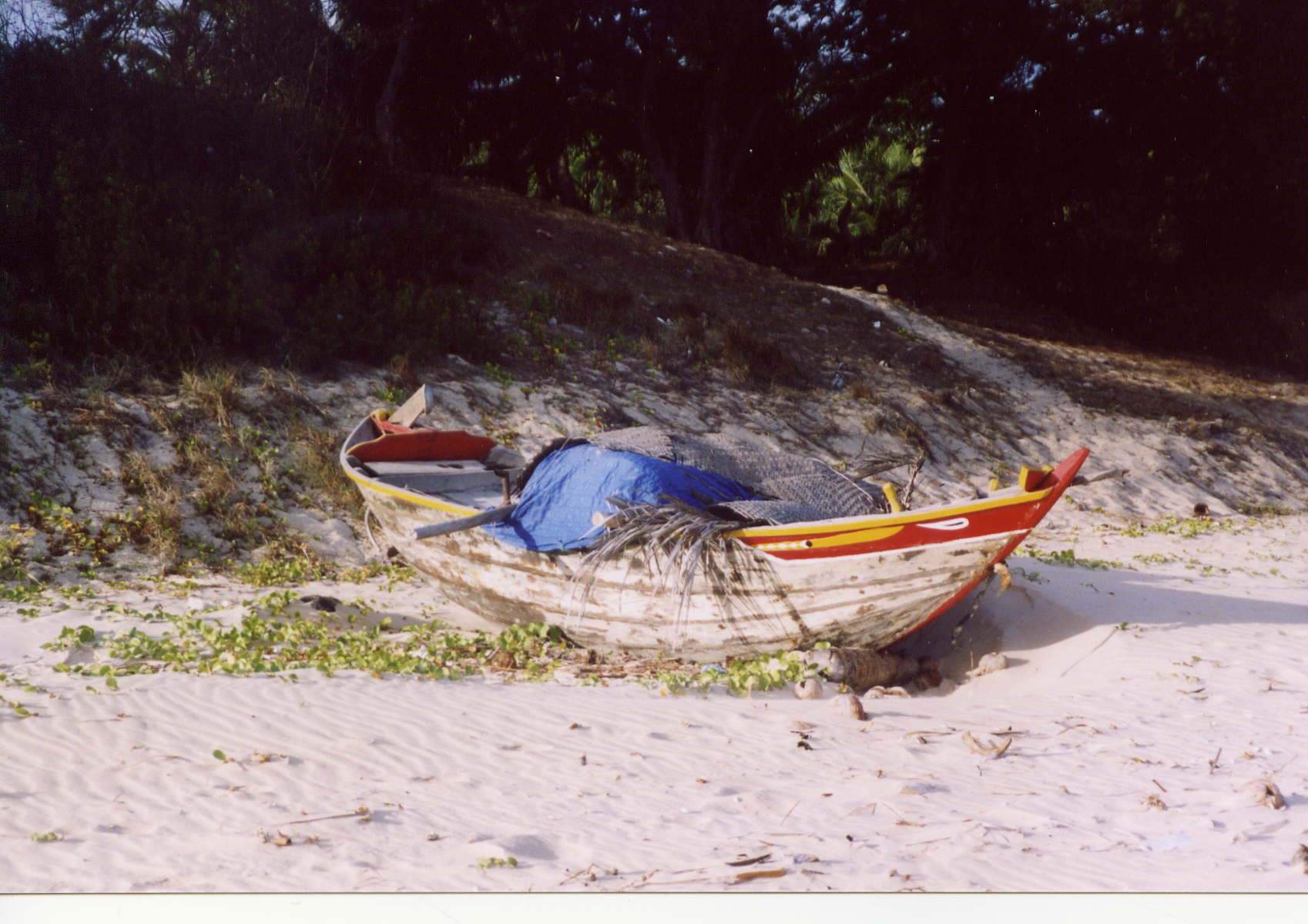
One of the smaller fishing boats. They seemed tobe more colorful now.
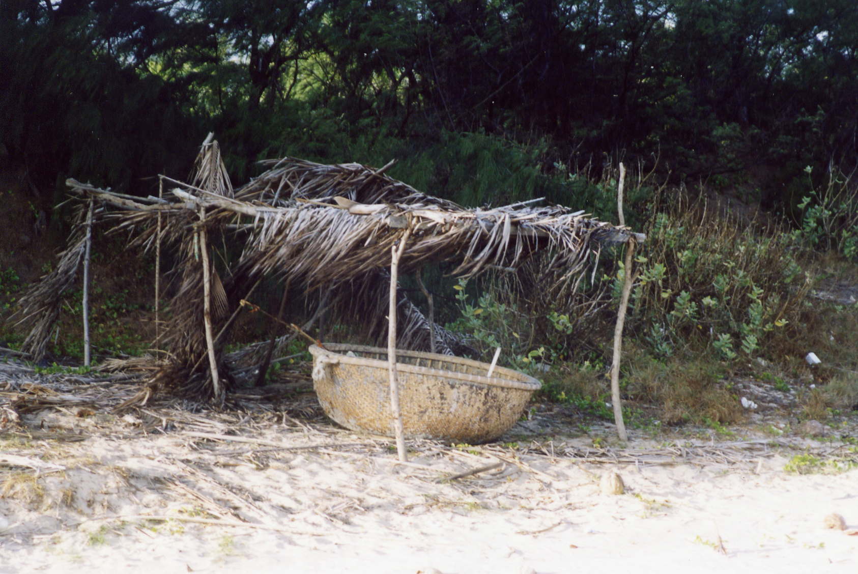
One or 2 person fishing basket
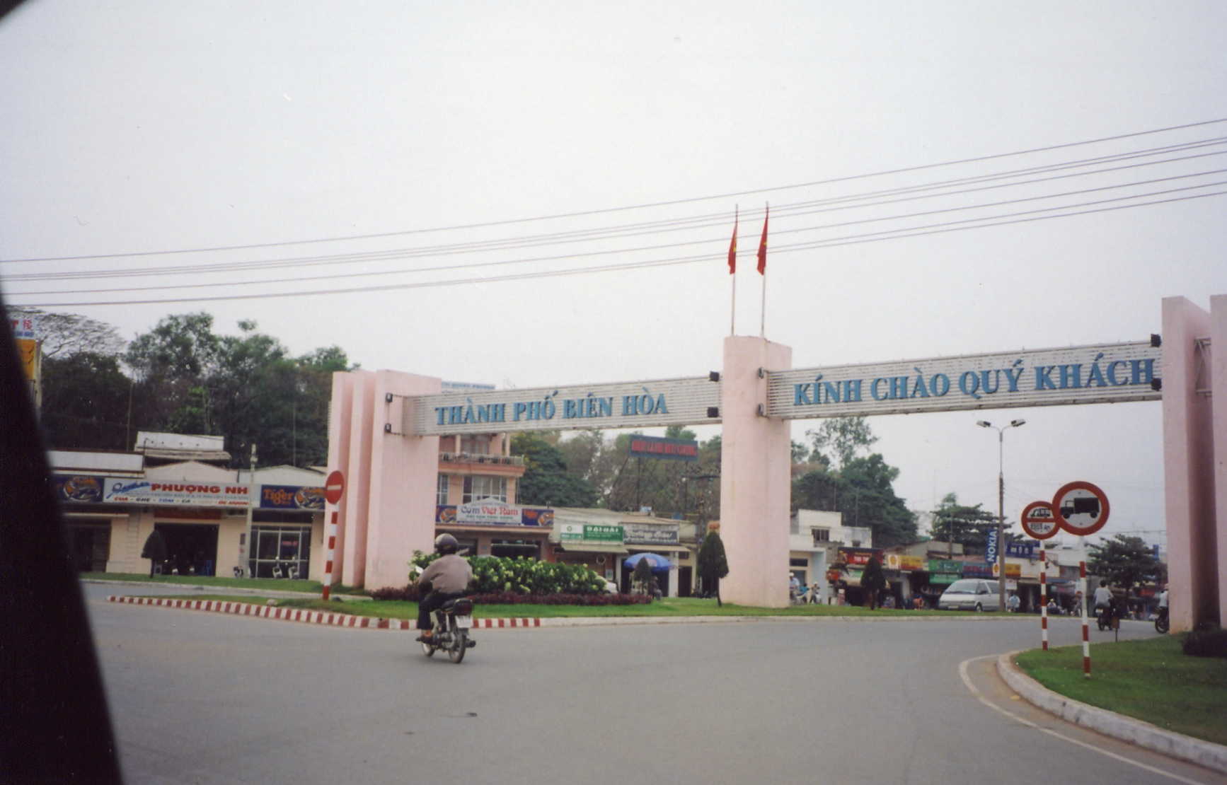
The City of Ben Hoa. Alot of us took our incountry training here with the 11th ARC. Ben Hoa
has more than trippled in size.
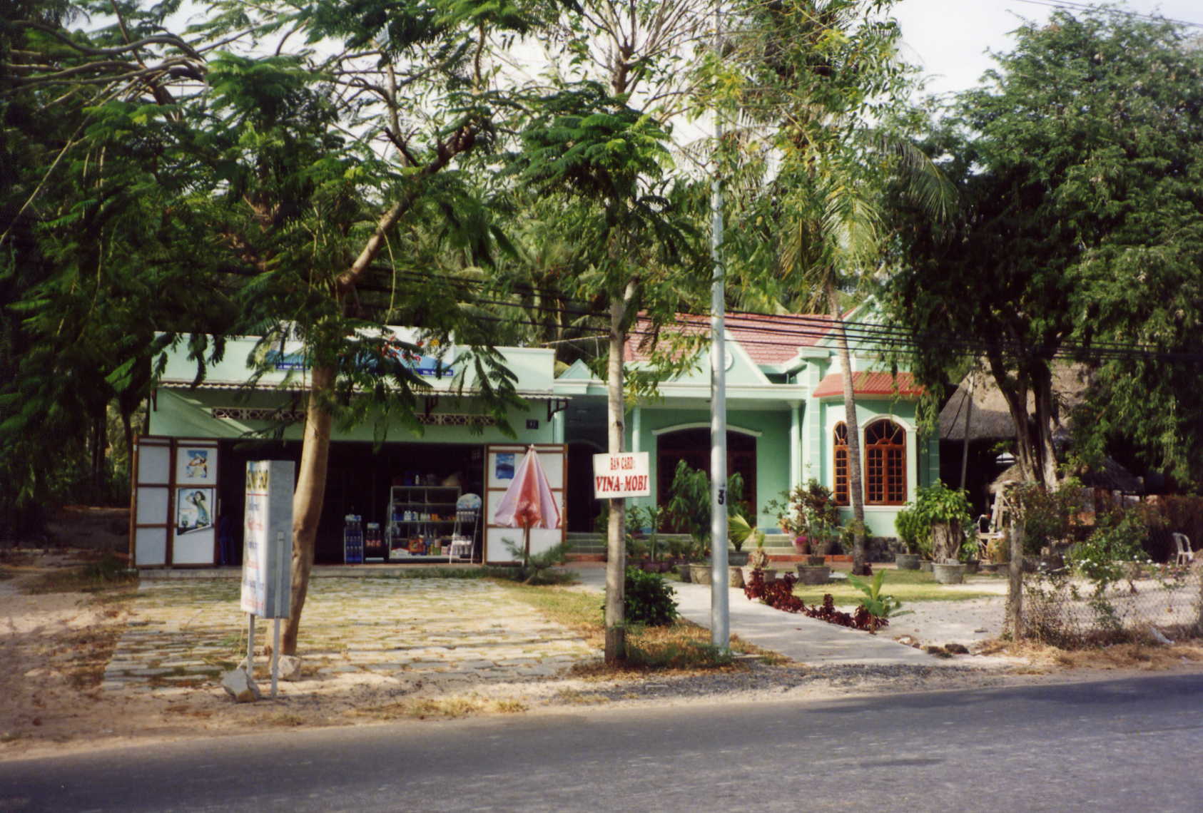
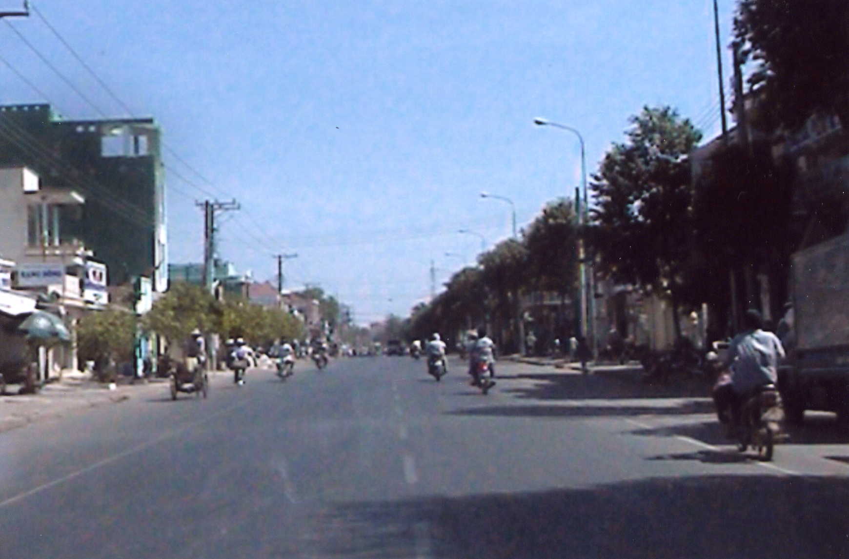
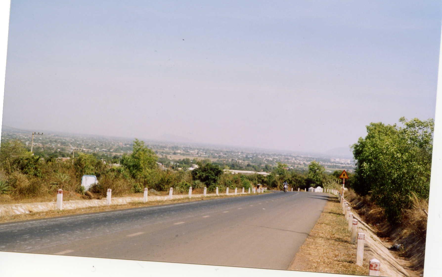
West of PT on Highway 1. In all it's insanity, there were some beautiful places in Vietnam.
One of the many weddings we passed on HWY 1 heading toward Phan Thiet
The following pictures are from Adam Bray. Adam is a website/graphic designer. He went
to visit his brother who is teaching english in China. He decided to tour Asia and eventually settled in Phan Thiet.
He knew that there were American forces stationed in Binh Thuan but found many of the locals resistant
to talk about the war. In searching he contacted Rolando Salazar, 1st Cav LZ Betty and eventually contacted me.
He has been of great help in gathering information for me and Rolando on our old area of operation.
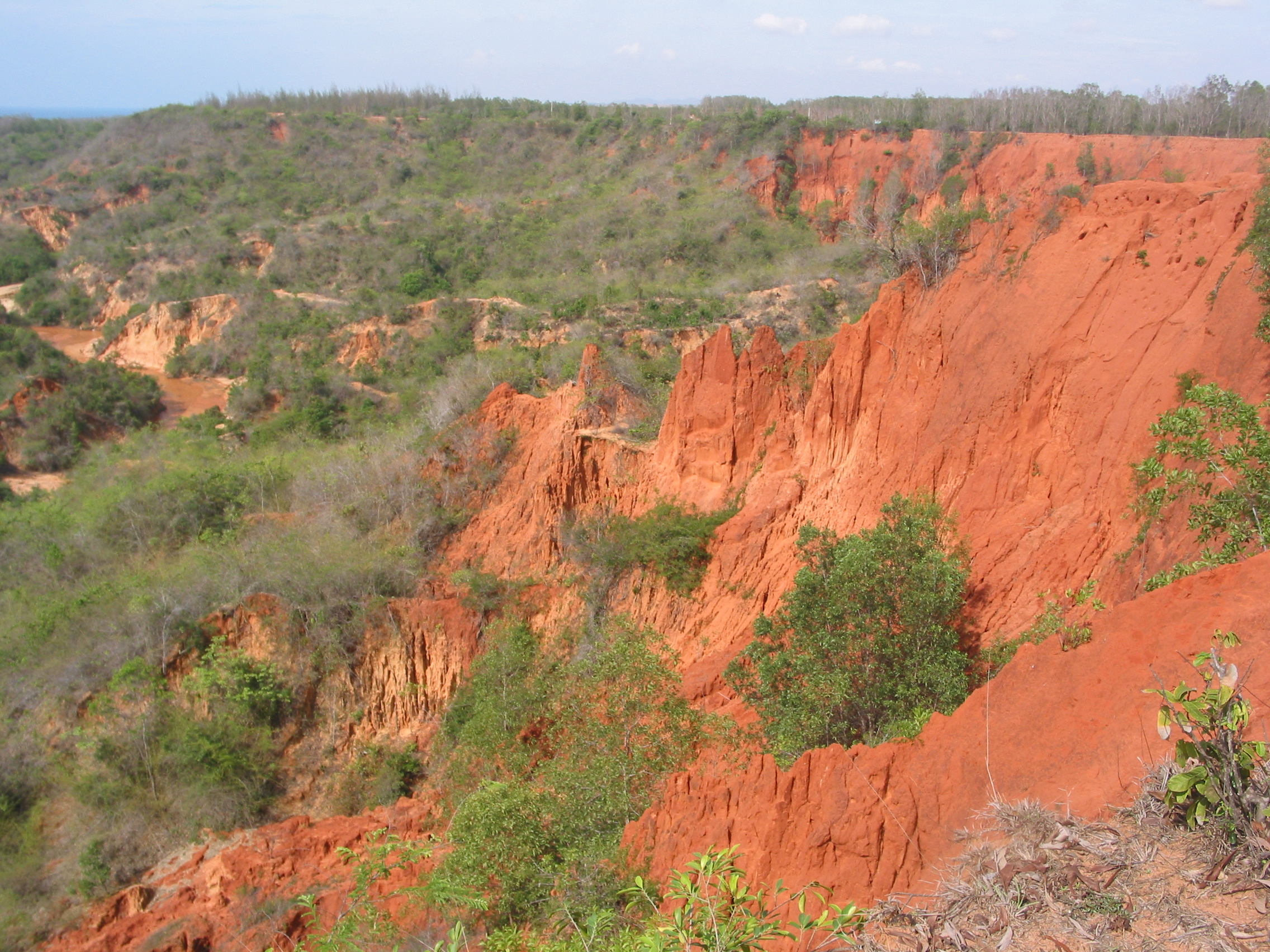
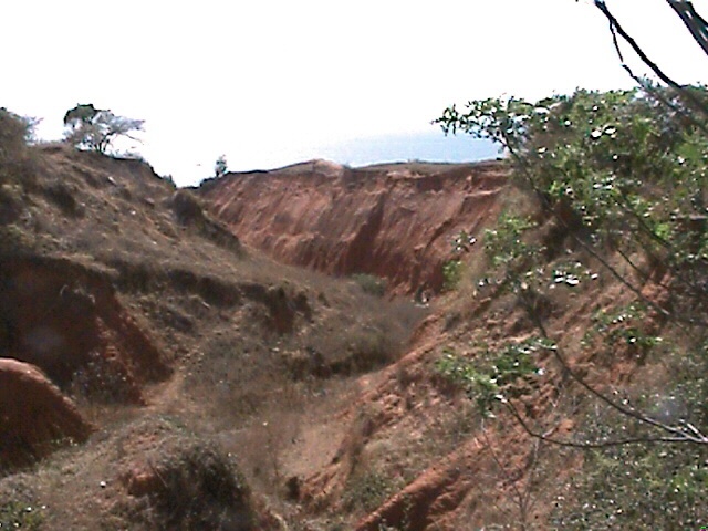
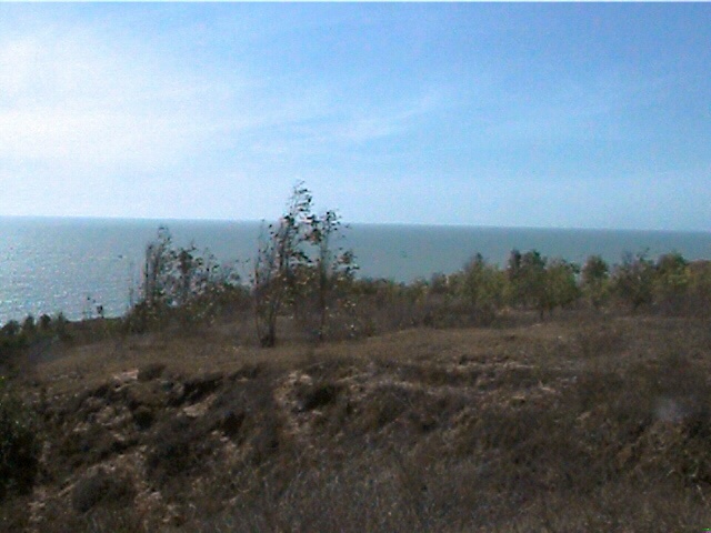
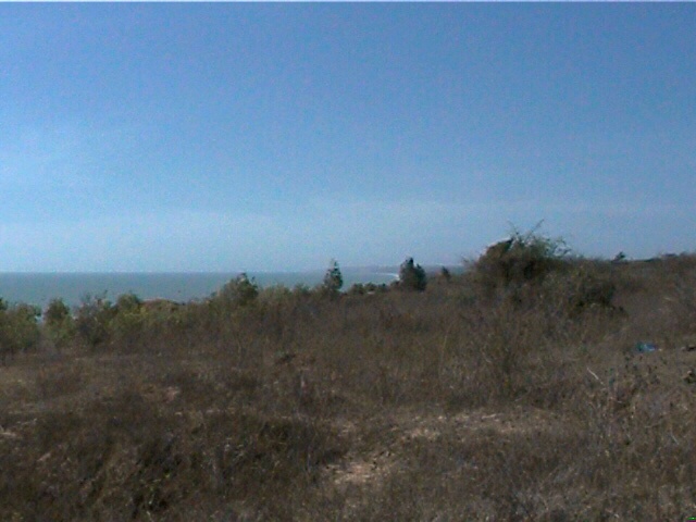
The picture above is of the old Batallion motor pool area looking south toward Vung Tao. Below pictures looking up toward
the LZ from the ocean. What used tobe a ditch`s are now canyon`s.
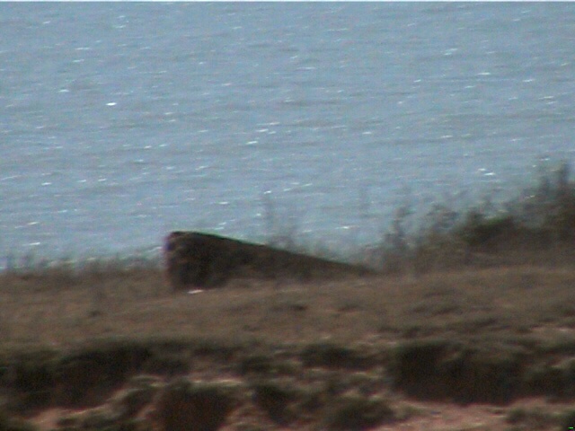
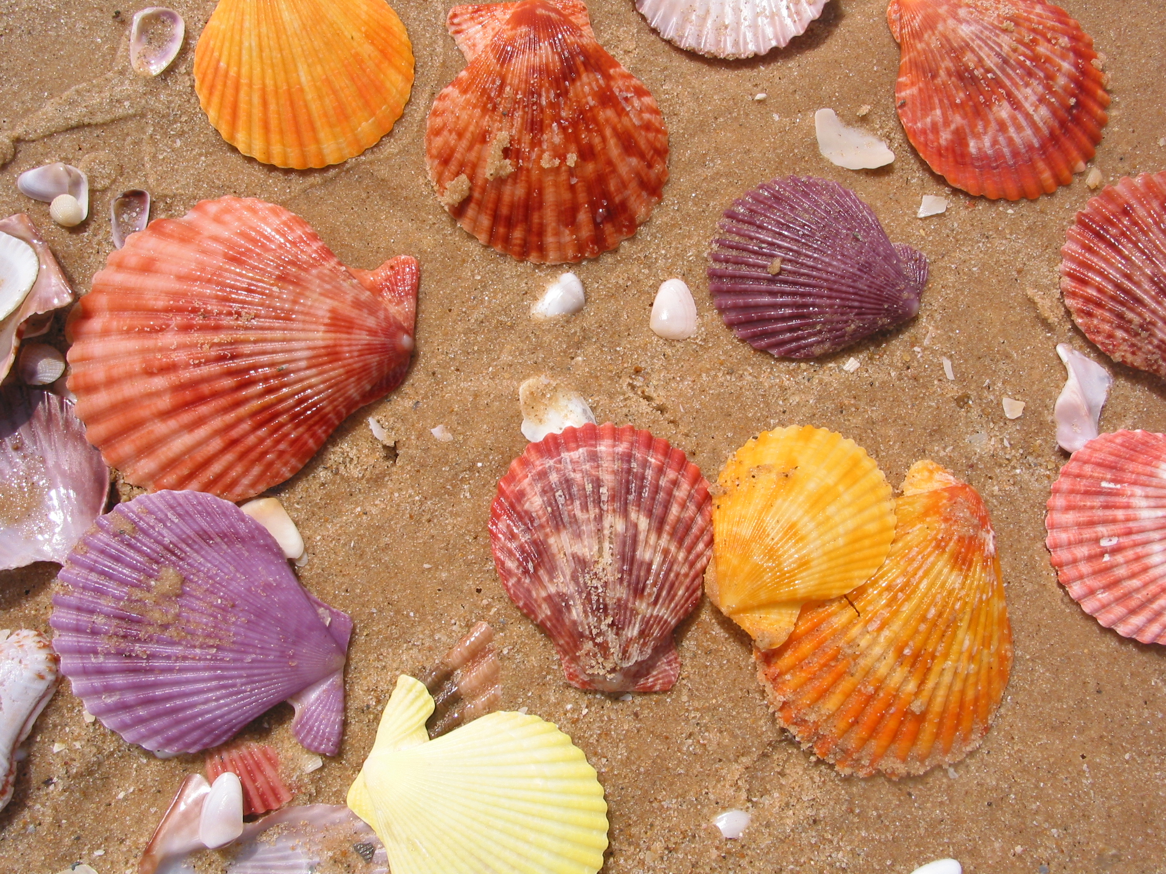
Thrown about on the beach below LZ Betty. Unlike Americans
the vietnamese dont collect sea shells.
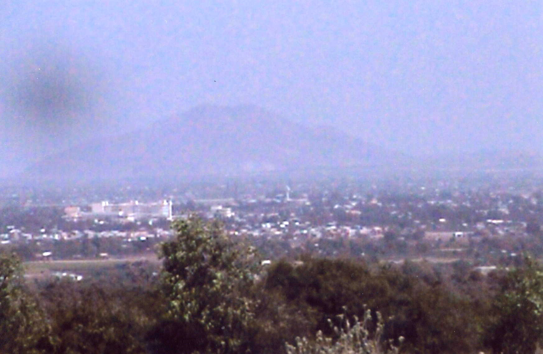
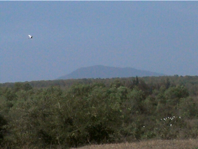
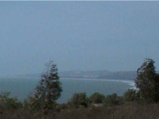
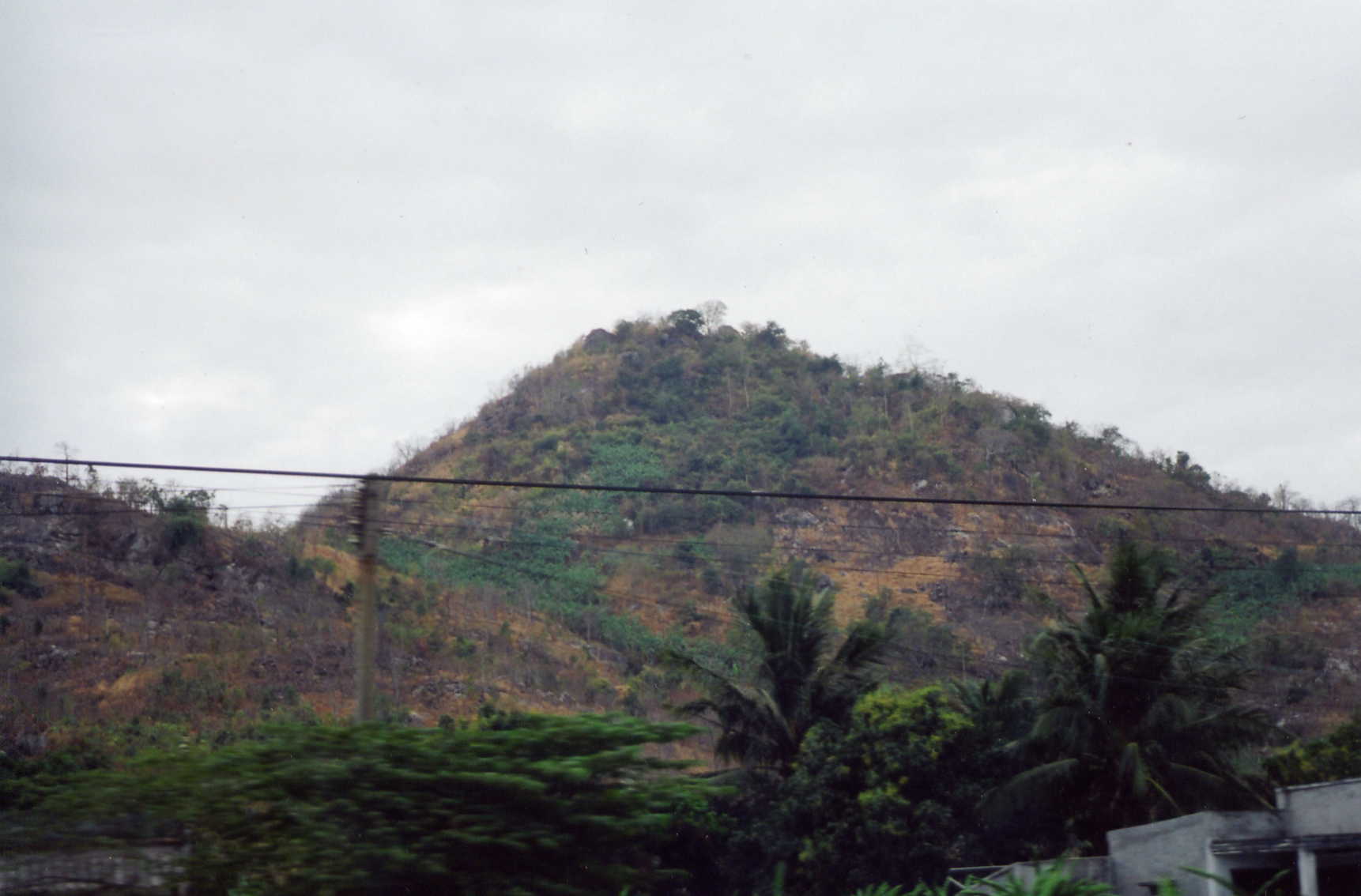
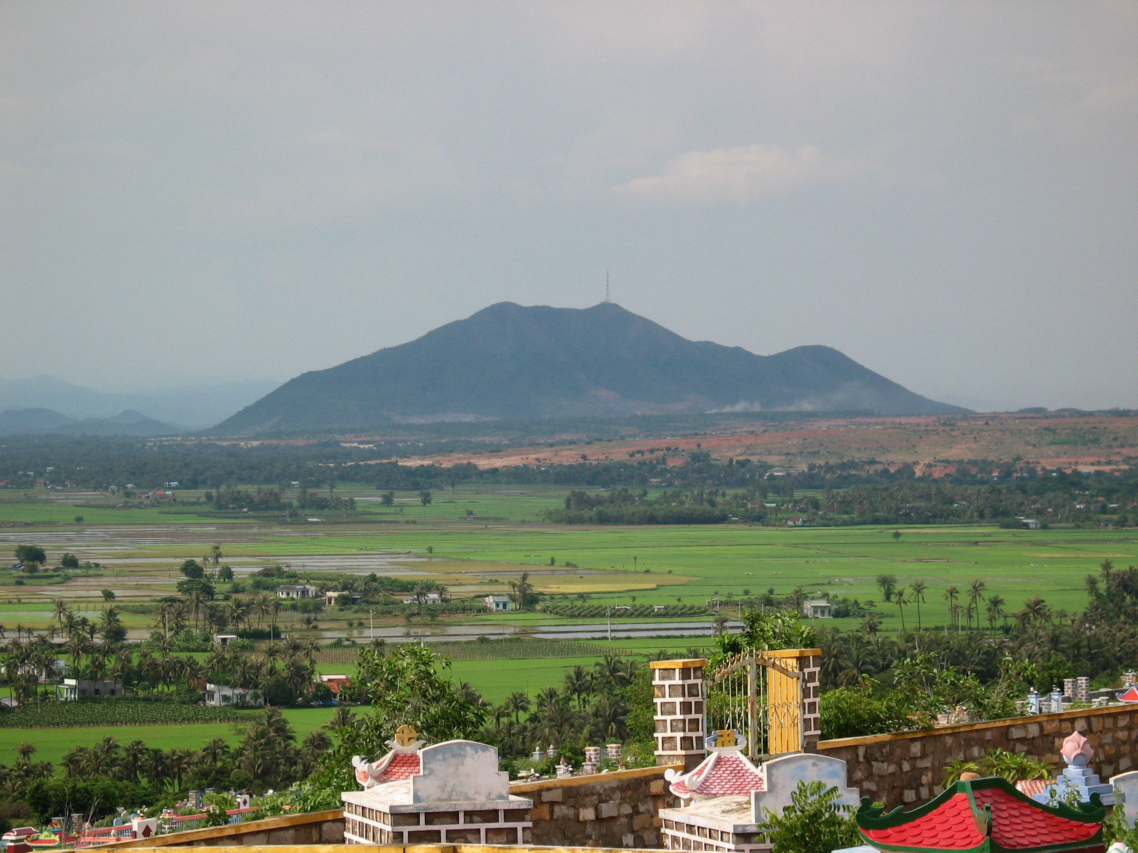
Whiskey Mountain with cell phone tower.The picture was taken from the Cham Buddist Temple in North Phan Thiet
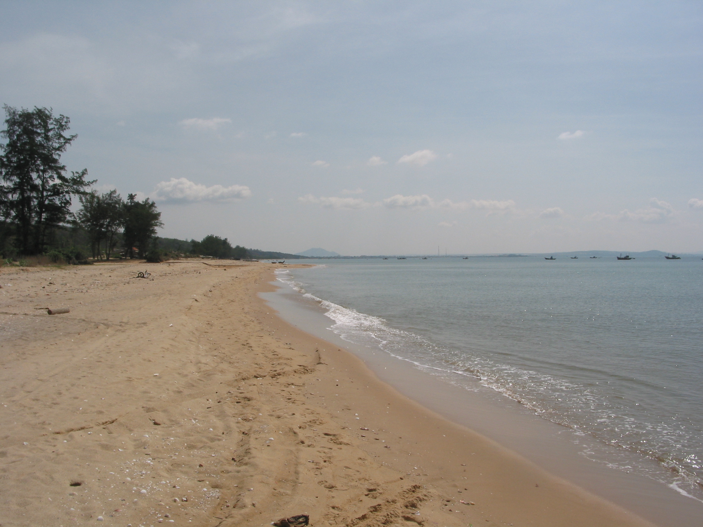
Looking up the beach from in front of the LZ.
Many Vietnam websites are dedicated to particular military units. This
website is dedicated to a place and time in our lives.
© Copyrighted 2005
to present by Bryan Lagimoniere. All photos are the property of this website use without written permission is strictly
prohibited. All rights reserved
|